Gandy Warm Springs
Near Gandy, Utah, United States
A large warm spring at the foot of Spring Mountain in remote Snake Valley, where 81°F27°C water pours from a cave and over small travertine falls into clear pools and the start of Warm Creek.
Photo: The Dye Clan (CC BY-SA 3.0). Resized and cropped for this page.

- Water temperature
- 81°F27°C
- Entry
- Free
- Getting in
- Drive-up
- Type
- Wild & natural
- About 9,000 gallons a minute flow out of Spring Mountain, enough to fill roughly 20 Olympic pools a day.
- The deepest pool, nearly 4 feet, sits under a rock overhang at the mouth of a small cave locals call Beware Cave.
- An endemic springsnail found nowhere else lives in the spring, along with native speckled dace.
- Free and on BLM land, about 30 miles north of US-6/50 near the Nevada line and Great Basin National Park.
What to expect
Gandy Warm Springs is a warm swimming hole, not a hot soak. Plan for that and it is one of the most memorable stops in Utah’s West Desert. A huge volume of water, close to 9,000 gallons a minute according to the Utah Geological Survey, comes out at the southern tip of Spring Mountain (also called Gandy Mountain), a small limestone ridge on the west side of Snake Valley near the Nevada border. The water reaches about 81°F27°C.
Spring water trickles down the rocky slope in several small streams, spilling over little travertine ledges and through mossy pools, then joins a larger spring that flows out from a cave at the bottom. Together they form Warm Creek (also called Gandy Creek), which runs east across the valley. The contrast is striking: bright green watercress, moss and algae in clear water, surrounded by dry grass and sagebrush.
The deepest spot, nearly 4 feet, is at the mouth of a short cave under a leafy rock overhang. Locals call it Beware Cave. It runs about 20 feet and dead-ends, and the passage is not difficult, but take a waterproof light. Downstream, a simple dam keeps the water moving toward the ranches at Gandy, where it is used for irrigation and to warm a fish farm.
Gandy is a local swimming spot. People come here to soak, swim and even hold baptisms.
Getting there
This is remote country. Fill up and stock water before you leave pavement.
- From Delta: Drive west on US-6/50 toward the Nevada line and Great Basin National Park. The Gandy Road turnoff is about 88 miles west of Delta.
- Gandy Road: About two-thirds of a mile before the state line (around mile marker 0.7 heading east from the line), turn north onto Gandy Road. It is dirt, usually well graded and fairly fast. Drive about 28 miles north.
- The last 3 miles: At the Gandy sign, near the Bates Ranch turn and about 100 feet before the green line of Warm Creek, turn left (west). The road runs along the south edge of a farm. Stay on the main track for about 2.7 miles toward the south end of Spring Mountain, which looks like a small pointed peak, then follow the road as it loops northeast and drops to a turnaround by the creek.
The Utah Geological Survey calls the final stretch bumpy but fine for any vehicle in dry weather. One trip report suggests medium clearance and advises against a low sedan, though it also saw low cars at the springs. You can also reach Gandy from the north on the Snake Valley Road through Trout Creek and Partoun, but that route is much longer on dirt.
When to go
June to September is the best time. At 81°F27°C, the water feels great when the desert air is in the 90s. On a sunny 40°F4°C day the water is pleasant while you are in it but cold the moment you get out, and children tend to find it too chilly. Spring Mountain shelters the springs a little, so shoulder-season days can work if the sun is out.
In warm months, locals suggest giving a honk as you drive in so anyone in the water knows you are coming.
After heavy rain, give the dirt roads time to dry.
Rules and etiquette
The springs are on BLM land. There is no fee, no host and no posted site rules beyond general BLM regulations.
- Protect the snails. Gandy Warm Springs is the only home of a tiny springsnail, Pyrgulopsis saxatilis. Do not move rocks or dig in the pools, and keep soap, shampoo and sunscreen out of the water.
- Leave the dam alone. Downstream ranches rely on the flow.
- Pack out everything, including food scraps and toilet paper.
- Wear a swimsuit. This is a family and community swimming spot.
- Watch for livestock on the roads and near the creek.
Where to stay nearby
- Camping at the springs: Primitive camping on the surrounding BLM land is free. Land directly west of the springs is Utah state trust land, where camping is also an option. There are no facilities of any kind.
- The Border Inn: A motel, gas station and restaurant right on the state line on US-6/50, about 30 miles south of Gandy.
- Baker, Nevada: The small gateway town for Great Basin National Park, just beyond the Border Inn, has a few places to stay and eat.
- Delta: The next full-service town, roughly 120 miles east.
Nearby stops worth adding
Crystal Ball Cave, about a mile north of the springs, holds walls of round calcite crystals, along with stalactites, columns and Ice Age mammal fossils, including saber-toothed cat and camel. The cave is privately held through a mineral claim, so do not try to enter it on your own. Great Basin National Park, across the Nevada line, has Lehman Caves and the bristlecone pines of Wheeler Peak and pairs well with a swim at Gandy.
Safety notes
- Remoteness: There are no services after you leave the highway, and cell signal is weak or absent. Carry extra fuel, water, food and a spare tire.
- Drinking water: Bring your own. Livestock graze nearby, so filter creek water only as a last resort.
- The cave: Enter slowly with a waterproof light. Rock edges are slick with moss.
- Chill: Even in 81°F27°C water you can get cold on a cool day. Bring warm layers and a towel for after.
- Algae: Rocks in and around the pools are slippery. Water shoes help.
Map and nearby springs
GPS: 39.46028, -114.03667
Gandy Warm Springs: common questions
How warm is Gandy Warm Springs?
The water reaches about 81°F27°C. That is a warm swimming temperature, not a hot soak. On a hot summer day it feels refreshing, but on a cool day you will get chilled once you leave the water.
How do you get to Gandy Warm Springs?
Take US-6/50 west from Delta toward the Nevada line. About two-thirds of a mile before the border, turn north onto Gandy Road and drive about 28 miles of gravel to the Gandy sign. Turn left (west) just before Warm Creek and drive about 3 miles to a turnaround at the springs.
Can you camp at Gandy Warm Springs?
Yes. The springs are on Bureau of Land Management land, and primitive camping nearby is free. Land directly west of the springs is Utah state trust land, which also allows camping. There are no toilets, water or trash cans.
Do you need four-wheel drive to reach Gandy Warm Springs?
Usually not. The Utah Geological Survey describes the last stretch as bumpy but passable for all vehicles in dry weather. One trip report recommends medium clearance over a sedan. After rain, the dirt roads can get muddy.
Is Gandy Warm Springs near Great Basin National Park?
Yes. The turnoff from US-6/50 is less than a mile from the Nevada line, and Baker, Nevada, the gateway town for the park, is a short drive west of the Border Inn. From the springs, plan on about 30 miles of dirt road to reach the highway.
Closest hot springs to Gandy Warm Springs
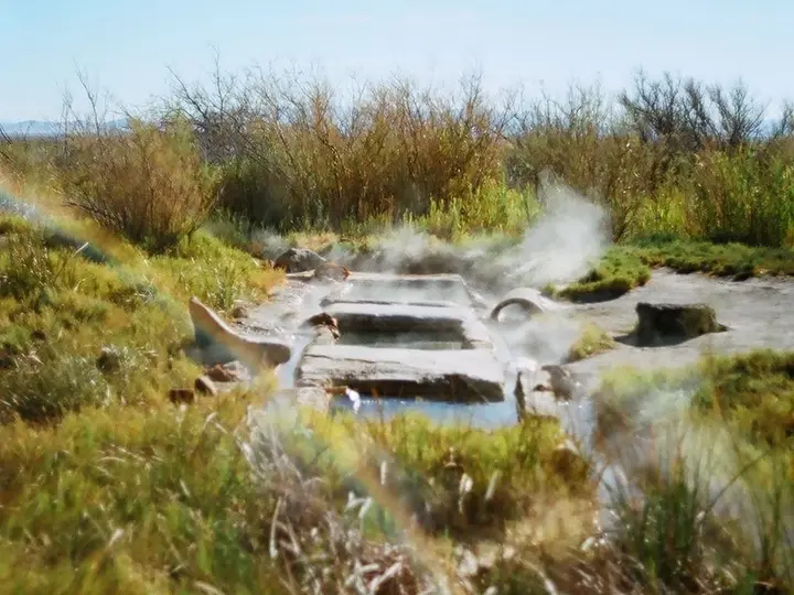
100°F38°C
Wild & natural
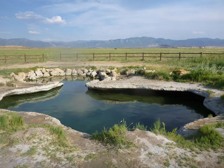
Near Milford
Wild & natural
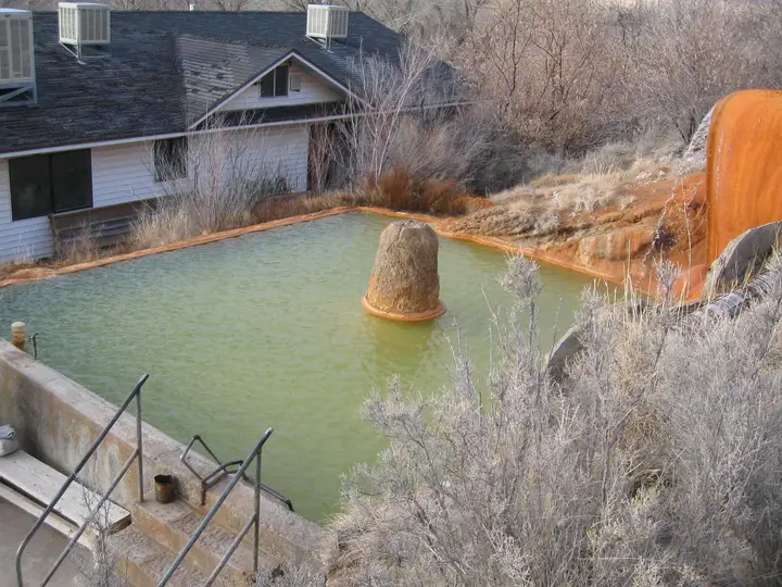
All hot springs in UtahAll hot springs in United StatesOpen the full map
Sources we checked (5)
- geology.utah.gov/map-pub/survey-notes/geosights/gandy-warm-springs/
- sltrib.com/artsliving/2017/03/30/oasis-redefined-here-are-5-surprising-hot-and-warm-springs-in-central-utah
- roadtripryan.com/go/t/utah/westdesert/gandy-warm-springs
- millardcounty.com/hotsprings/
- gis.blm.gov/arcgis/rest/services/lands/BLM_Natl_SMA_LimitedScale/MapServer