Laugarvellir Hot Waterfall (Laugavallalaug)
Near Egilsstaðir, East Highlands (Múlaþing), Iceland
A wild hot stream in the remote Laugarvalladalur valley of the East Highlands that pours off a low cliff as a warm waterfall into a stone basin, reached by the F910 track north of the Kárahnjúkar dam.
- Water temperature
- 90-100°F32-38°C
- Entry
- Free
- Getting in
- 4WD road
- Type
- Wild & natural
- A geothermal stream drops over a small cliff as a warm natural shower into a stone basin of about 20 square metres and 50 cm deep.
- About 20 km (12 miles) north of the Kárahnjúkar dam, off the F910 highland track, so a 4x4 is required by law.
- The water is not controlled: the fall can run over 104°F40°C, while the two pools downstream are about 90-100°F32-38°C.
- Restored turf shelters, dry toilets and outdoor changing rooms, but camping is not allowed in the valley.
What to expect
Laugarvellir is a small green valley in the empty, high moorland west of the Jökulsá á Dal (Jökla), about 20 km (12 miles) north of the Kárahnjúkar dam. Visit Austurland calls the valley Laugavalladalur, and you will also see the site written as Laugarvellir, Laugavellir or Laugavallalaug, which simply means “the pool at Laugarvellir”. All of these are the same place.
The attraction is a geothermal stream. Near the ruins of an old farm, warm water runs down the valley side and drops over a low cliff, making a natural hot shower. It lands in a stone-floored basin of about 20 square metres and around 50 cm deep, according to a 2026 guide, and then flows on into two larger pools before joining the cold main river below. You can stand under the falling water, sit in the basin, or move down to the cooler pools.
There is nothing commercial here. A local association has restored two traditional half-buried turf shelters near the car park, with tables, chairs and a picnic table outside. There are dry toilets at the second car park and simple outdoor changing rooms just before the pools. That is the full extent of the facilities.
The valley was farmed until the early twentieth century. A couple tried to settle here in 1900, but most of their sheep died in a storm in 1906 and they left soon after. The ruins are still visible.
Getting there
Laugarvellir is about 100 km (62 miles) from Egilsstaðir, and the last part needs a 4x4.
- Egilsstaðir to the dam: Drive west along Lögurinn on Road 931, then join Road 910, which climbs onto the highlands toward the Kárahnjúkar dam and the Hálslón reservoir. Road 910 is paved to the dam.
- The F910: Beyond the dam the road becomes the gravel F910 highland track. F-roads are closed to two-wheel-drive cars by law, and most rental agreements also ban ordinary cars on them.
- The turnoff: About 7.5 km past the dam you reach a junction. A sign points east to Hafrahvammagljúfur canyon. Go the other way, west, and follow the side track for about 2 km down into the valley.
- The river: A small river crosses the track roughly 200 m before the shelters. A 2024 hut listing called it a relatively easy ford for a 4x4, but a 2026 guide says driving through it is now forbidden and visitors must use the footbridge. Park before the river and walk.
- The walk: From the footbridge a small path leads to the pools. Distances vary between sources, from about 100 m from the shelters to about 600 m from the car park. Either way it is a short, easy walk.
You can also reach the F910 from the north, via Road 907 from the Ring Road; check its condition before you commit.
When to go
This is a summer-only spot. The F910 is a highland road that only opens once the snow has melted and the surface has dried out, and it closes again with autumn snow. Opening dates change every year, so check umferdin.is and the Icelandic Road Administration’s highland road map before you go. In winter, Road 910 is usually kept open as far as the dam, and the only way on is on foot along the closed track.
July and August are the most reliable months. The site is rarely crowded, but what traffic there is tends to arrive around midday. For the best chance of having it to yourself, arrive mid-morning or in the evening.
Highland weather is fierce and fast-changing. Check vedur.is and safetravel.is on the morning you set out.
Rules and etiquette
- No camping. Camping in tents, vans or motorhomes is banned in the valley and in the car parks. Plan your night elsewhere.
- No entry fee, and no staff. Take all rubbish away with you.
- Do not drive through the river. Use the footbridge.
- Respect the shelters. A local shepherd may store equipment in one of them. Leave it alone and leave the huts tidy.
- Clothing: There are no posted rules on clothing. Bring a swimsuit; the outdoor changing rooms make changing easy.
- Do not dam or dig. Leave the stones and channels as you find them so the flow and temperature stay the same for the next visitors.
Where to stay nearby
There is nowhere to sleep at Laugarvellir itself. The nearest lodging is the Laugarfell highland lodge, 2 km off Road 910 north of Snæfell, which has rooms, a campsite and its own two hot pools from 1 June to 30 September. Below the highlands, Fljótsdalur and the Hengifoss area have farm stays, and Egilsstaðir has the widest choice of hotels, campsites and fuel.
Nearby stops worth adding
Hafrahvammagljúfur, the deep canyon of the Jökla below the dam, is signposted from the same junction on the F910. The Kárahnjúkar dam and the Hálslón reservoir are worth a stop on the way. On the way back down, Hengifoss is off Road 931 near the bottom of the valley.
Safety notes
- Scalding water: The water is not regulated, and Visit Austurland warns that it can be well above bathing temperature. Test every pool and the waterfall with your hand before getting in, and keep children out of the upper basin.
- Remoteness: You are about 100 km from Egilsstaðir with patchy signal in the valley. Bring food, water, warm clothes and a full tank, and leave your route with someone or on safetravel.is.
- River and footbridge: River levels rise after heavy rain. Do not wade if the water looks high.
- Footing: Wet rocks under the waterfall and around the pools are slippery.
- Water quality: Nobody tests this water. Keep your head above the surface and do not drink it.
Map and nearby springs
GPS: 65.00554, -15.76361
Laugarvellir Hot Waterfall (Laugavallalaug): common questions
How do you get to Laugarvellir?
From Egilsstaðir, take Road 931 along Lögurinn and join Road 910 up onto the highlands toward the Kárahnjúkar dam. Past the dam the road becomes the unpaved F910. After about 7.5 km on the F910, turn left at the junction (the Hafrahvammagljúfur sign points the other way) and follow the side track about 2 km to Laugarvellir. The total drive from Egilsstaðir is around 100 km (62 miles).
Do you need a 4x4 for Laugarvellir?
Yes. The F910 is a highland F-road, and Icelandic law bans two-wheel-drive cars on F-roads. Rental companies also forbid ordinary cars on them. The last part of the side track ends at a small river near the shelters.
Can you drive across the river at Laugarvellir?
Sources disagree, so plan to walk. A 2026 guide says driving through the shallow ford (about 30 cm deep) is no longer allowed and visitors should use the small footbridge. A 2024 hut listing still described the ford as relatively easy for a 4x4. Park before the river, cross on the footbridge and walk the last few hundred metres to the pools.
How hot is the water at Laugarvellir?
Nobody regulates it. A 2026 guide says the water under the waterfall can run over 104°F40°C, while the two pools further down are cooler, about 90-100°F32-38°C, because a cold stream mixes in. Visit Austurland warns that the stream can sometimes be well above a comfortable bathing temperature. Always test with your hand first.
Can you camp at Laugarvellir?
No. A 2024 hut listing reports that camping is banned in the valley and in the car parks, for tents, vans and motorhomes alike. The turf shelters have tables and chairs but no beds or stove. The nearest place to sleep with a hot pool is the Laugarfell lodge off Road 910.
Closest hot springs to Laugarvellir Hot Waterfall (Laugavallalaug)
99-111°F37-44°C
Resort or spa
Laugarfell Hot Springs
East Iceland (Fljótsdalshreppur), Iceland
15 mi away, ~25 min drive
99-111°F37-44°C Paid Drive-up
99-106°F37-41°C
Resort or spa
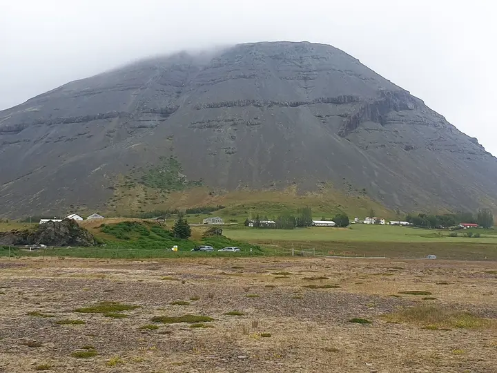
Hoffell Hot Tubs (Hoffell Baths)
Southeast Iceland, Iceland
44 mi away, ~1 hr drive
Temp n/a Paid Drive-up
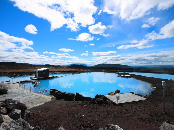
Earth Lagoon Mývatn (Jarðböðin við Mývatn)
North Iceland, Iceland
53 mi away, ~1.5 hr drive
97-104°F36-40°C Paid Drive-up
Near Vopnafjörður
Public pool
Selárlaug (Selárdalslaug)
Vopnafjörður, East Iceland, Iceland
60 mi away, ~1.5 hr drive
Temp n/a Paid Drive-up
99-106°F37-41°C
Resort or spa
Forest Lagoon (Skógarböðin)
North Iceland, Iceland
80 mi away, ~2 hr drive
99-106°F37-41°C Paid Drive-up