Dewar Creek Hot Springs
Near Kimberley, British Columbia, Canada
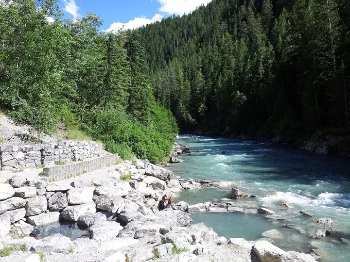
Steaming hot vents deep in the Purcell Wilderness Conservancy, about 9.6 km up a rough valley trail. The source water is above 176°F80°C and BC Parks has removed almost every soaking pool.
Photos: got-hunting (CC BY-SA 3.0); Peter (CC BY-SA 2.0). Resized and cropped for this page.


- Water temperature
- Not published
- Entry
- Free
- Getting in
- Long hike
- Type
- Wild & natural
- One of the hottest springs in BC: the water at the vents is above 176°F80°C, far too hot to touch.
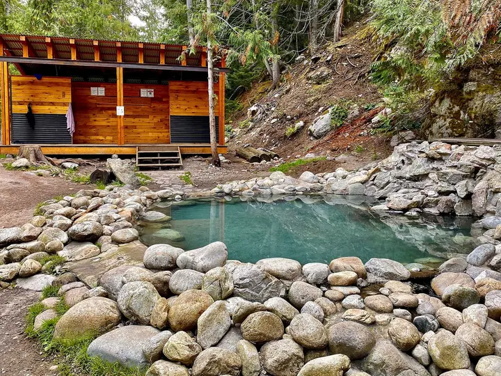
- BC Parks has removed all but one small user-built pool and removes any new ones.
- The trail runs about 9.6 km (6 miles) each way with roughly 572 m (1,877 ft) of climbing.
- Camping is not allowed at the springs; use Bugle Basin about 0.5 km beyond.
What to expect
Dewar Creek Hot Springs sits in the Purcell Wilderness Conservancy Provincial Park and Protected Area, a large roadless park west of Kimberley in southeastern BC. BC Parks lists the springs as one of the park’s special features. Getting there takes a long drive on logging roads and a full day on foot.
Set your expectations before you go. This is not a soaking spring. BC Parks says the water at the surface vents is above 176°F80°C, which is scalding. Over the years visitors dug and dammed a series of pools along the outflow, and BC Parks has taken out all of them except one small pool. It says it will remove any new construction and asks hikers to cooperate. Do not build pools, move rocks or redirect the water.
What you do get is a rare sight: hot water steaming out of the valley floor in a high subalpine setting and a wet, fragile meadow and bog fed by the warm runoff. BC Parks notes that elk, deer and the grizzly bears that hunt them use this valley. Come for the walk and the springs themselves, and treat the remaining pool as a bonus you may not get.
Getting there
The trailhead is at the end of the Dewar Creek road, about 65 km (40 miles) of mostly gravel west of Kimberley.
- From Kimberley, take Highway 95A southeast for about 3.5 km (2.2 miles) and turn right onto St. Mary Lake Road.
- Follow St. Mary Lake Road west past St. Mary Lake. It becomes the St. Mary forest service road.
- At about km 47, at the junction with the West Fork St. Mary road, bear right onto the Dewar Creek road.
- Follow the Dewar Creek road to its end at about km 72, where there is a trail registry and information kiosk.
BC Parks says the last 4 km (2.5 miles) of road are very rough and recommends a high-clearance vehicle. These are active logging roads, so expect industrial trucks, drive with your lights on and pull over for loaded haulers. Carry a spare tire, a backroad map book and enough fuel for the round trip.
The hike: the trail follows an old outfitting route up the Dewar Creek valley through forest and subalpine meadow. 10Adventures measures it at 19.2 km (11.9 miles) return with about 572 m (1,877 ft) of elevation gain and estimates 5 to 7 hours. BC Parks lists “about 3-4 hours total time”, which looks short for the round trip, so plan for a full day. The trail is overgrown in places but not hard to follow. Bikes are banned in the conservancy, along with all motorized vehicles.
Current conditions (2026)
BC Parks’ Purcell trail report, updated July 31, 2026, rates the Dewar Creek trail as mostly clear, with two problems:
- A large avalanche blocks the standard access to the horse camp.
- The Westley Creek bridge on the trail is damaged. This is one of the few bridged crossings in the park, so check its status and be ready for a cold, fast ford.
In summer 2026 the Matthew Creek wildfire west of Kimberley led to a BC Wildfire Service area restriction from July 23. St. Mary Lake Road formed its southern edge and stayed open for travel, and the order was set to end by October 15, 2026 at the latest. Check the Southeast Fire Centre page for current orders and DriveBC for the access roads before you go.
When to go
BC Parks warns that the major drainages in the conservancy may be in flood until the end of July, so crossings are dangerous early in summer. August and early September are the usual window. Autumn brings hunters (firearms are allowed in the park only during open hunting seasons) and the trail report asks hikers to take extra care then; wear bright colours. Expect snow on the upper roads and trail from late fall to spring.
Rules and etiquette
The Purcell Wilderness Conservancy has no facilities and is not regularly maintained. The rules that matter here:
- No camping at the springs. Camp at Bugle Basin, about 0.5 km (0.3 miles) past the springs. Do not camp above the springs or trample the bog.
- Horses are allowed on the east side of the park. Horse parties should not camp on the east side of Bugle Basin.
- No motorized vehicles, bikes or aircraft in the park.
- Leave the pools alone. No digging, damming or rebuilding.
- Fires: BC Parks asks for extreme care and recommends stoves for all cooking. Follow any provincial campfire ban.
- Dogs: BC Parks says the backcountry is not suitable for pets because of bears.
- Pack out everything. There are no toilets or garbage cans.
- Sign the trail registry at the trailhead and leave your plans with someone.
No park fees or permits are listed for day hiking or backcountry camping.
Where to stay nearby
Bugle Basin, just beyond the springs, is the overnight spot for hikers; there are no facilities. A night there breaks up what is otherwise a very long day of driving and walking.
Kimberley, about 65 km (40 miles) back down the road, has hotels, condos and restaurants. Cranbrook, about half an hour south of Kimberley, has the region’s airport and more services.
Safety notes
- Scalding water: the vents are above 176°F80°C. Keep children and dogs well away, and never test the water with your feet.
- Grizzly bears: BC Parks describes a healthy resident grizzly population. Carry bear spray where you can reach it, make noise in brush, and keep a clean camp with food stored away from your tent.
- River crossings: with the Westley Creek bridge damaged, a ford may be needed. Do not cross in high water.
- No rescue on call: the trail report says emergency equipment and technical rescues are not available. There is no cell service. Carry a satellite messenger, first aid and a map and compass, and know how to use them.
- Fragile ground: the bog around the springs are easily damaged. Stay on firm ground and established paths.
Map and nearby springs
GPS: 49.89915, -116.46727
Dewar Creek Hot Springs: common questions
Can you soak at Dewar Creek Hot Springs?
Mostly no. BC Parks says the water at the vents is above 176°F80°C, too hot for bathing, and that it has removed all but one small pool built by visitors. It will keep removing new construction. Treat Dewar Creek as a hike to see the springs, not a soaking trip.
How long is the hike to Dewar Creek Hot Springs?
10Adventures measures the route at 19.2 km (11.9 miles) return, with about 572 m (1,877 ft) of elevation gain, and suggests 5 to 7 hours for the round trip. BC Parks gives about 3 to 4 hours. The trail follows an old outfitters' route up the Dewar Creek valley.
How do you get to the Dewar Creek trailhead?
From Kimberley, drive west on St. Mary Lake Road, which becomes the St. Mary forest service road. At about km 47, at the West Fork junction, bear right onto the Dewar Creek road and follow it to its end at about km 72. The last 4 km are very rough, and BC Parks recommends a high-clearance vehicle.
Can you camp at Dewar Creek Hot Springs?
Not at the springs. BC Parks asks hikers to camp at Bugle Basin, about 0.5 km past the springs, and not to camp above the springs or trample the bog. Horse parties should not camp on the east side of Bugle Basin.
Are there grizzly bears at Dewar Creek?
Yes. BC Parks says the Purcell Wilderness Conservancy has a healthy resident grizzly bear population. Carry bear spray, make noise on the trail, cook away from your tent and keep a clean camp.
Closest hot springs to Dewar Creek Hot Springs
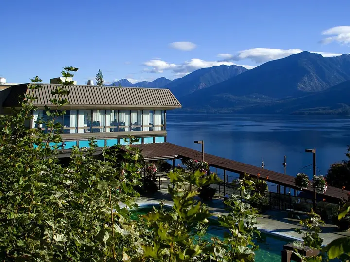
Ainsworth Hot Springs Resort
British Columbia, Canada
23 mi away, ~35 min drive
97-110°F36-43°C Paid Drive-up
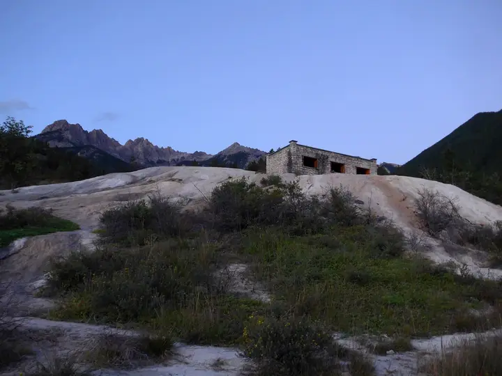
Fairmont Hot Springs Resort
British Columbia, Canada
41 mi away, ~1 hr drive
86-102°F30-39°C Paid Drive-up